Road Trips
Dempster Highway: Driving to the Arctic Ocean
Dempster Highway guide for 2026: 736 km of gravel from Dawson City to Inuvik, then 138 km to Tuktoyaktuk. Fuel stops, ferries, campgrounds, rental cars and road reports.
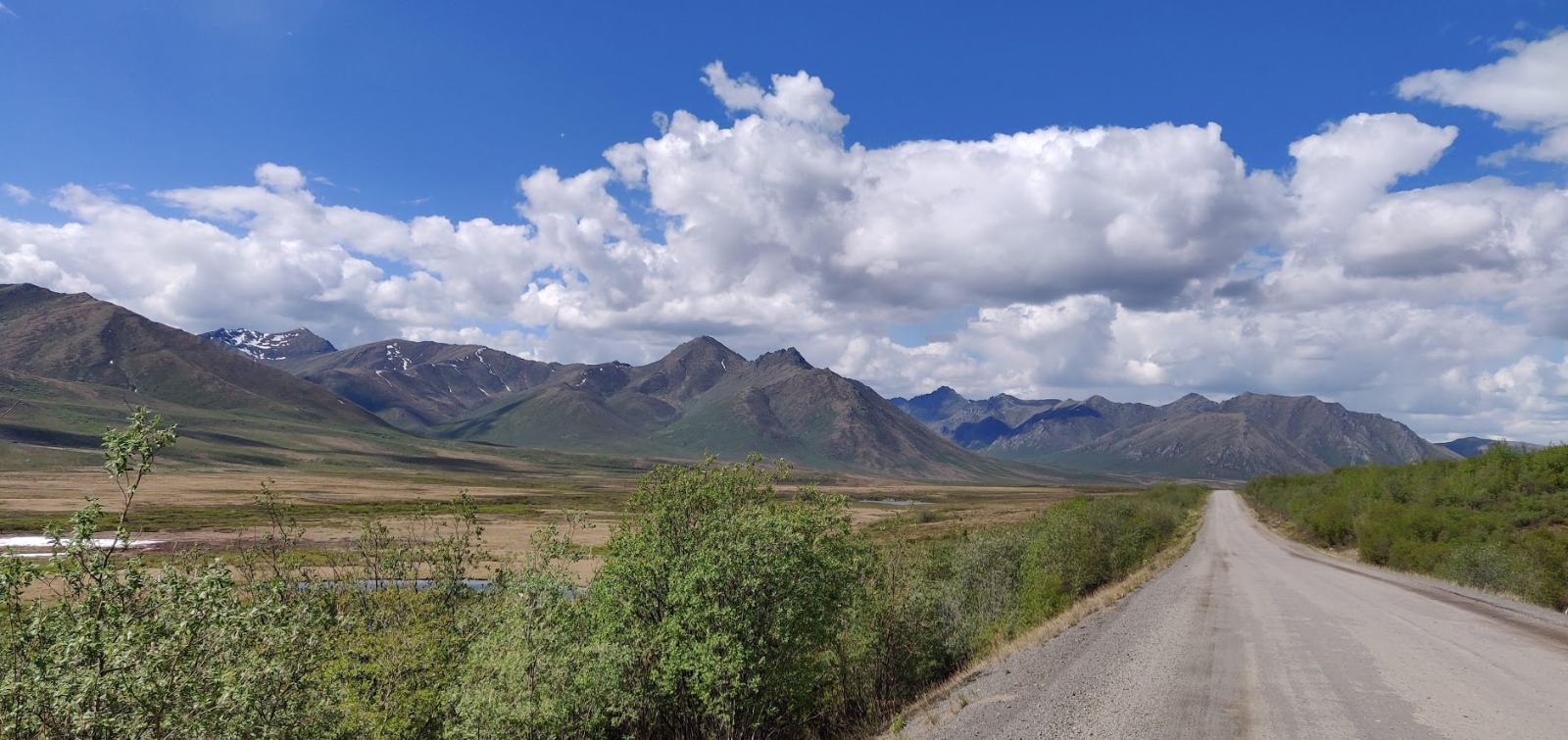
The Dempster Highway is a 736 km (457 mi) gravel road from the Klondike Highway near Dawson City, Yukon, to Inuvik in the Northwest Territories, and it is the only public highway in Canada that crosses the Arctic Circle. Since November 2017 the Inuvik to Tuktoyaktuk Highway has added another 138 km (86 mi), so you can now drive about 874 km (543 mi) from the start of the Dempster to the shore of the Arctic Ocean. Plan on at least two full days to Inuvik and a third for the return trip to Tuktoyaktuk, with fuel only at Eagle Plains, Fort McPherson, Inuvik and Tuktoyaktuk.
I live in Whitehorse. This guide combines the practical facts, checked in October 2026, with notes from our own drive north in May 2015.
The Dempster Highway at a glance
| Start | Junction with the Klondike Highway (Yukon Highway 2), about 40 km (25 mi) east of Dawson City |
| End | Inuvik, NWT. The road continues as the Inuvik to Tuktoyaktuk Highway |
| Length | 736 km to Inuvik, 465 km of it in Yukon. Plus 138 km to Tuktoyaktuk |
| Road numbers | Yukon Highway 5, NWT Highway 8, then NWT Highway 10 to Tuktoyaktuk |
| Surface | Gravel the whole way, including the road to Tuktoyaktuk |
| Fuel | Dawson City, Eagle Plains (km 369), Fort McPherson (about km 550), Inuvik, Tuktoyaktuk |
| Ferries | Peel River (about km 539) and Mackenzie River at Tsiigehtchic (about km 608). Free, roughly June to late October |
| Best time | Late June to early September |
Kilometre posts count from the Klondike Highway junction. On the Yukon side they run from 0 to 465. At the NWT border they start again at 0, so Inuvik is at NWT km 272. In this guide I use the continuous count from the start of the Dempster.
Some history
Construction began in 1959, when oil and gas finds in the Eagle Plains area promised a reason for a road north. Work stopped and started for twenty years. The highway officially opened on August 18, 1979.
It is named after Inspector William John Duncan Dempster of the Royal Northwest Mounted Police. In the winter of 1910 to 1911, a four-man patrol travelling by dog team from Fort McPherson to Dawson City got lost, and all four died. Dempster led the search party that found their bodies in March 1911. The men of this “Lost Patrol” are buried in the cemetery at Fort McPherson.
The route, section by section
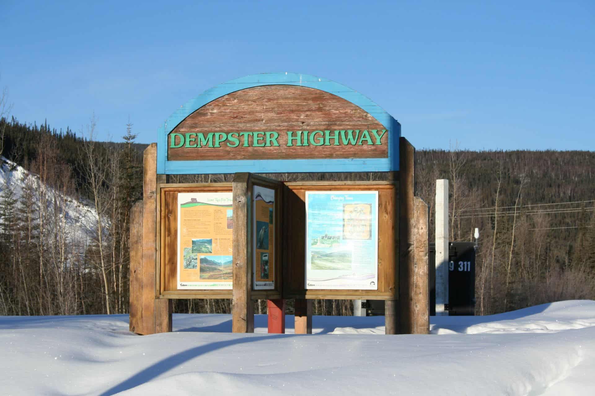
Klondike Highway to Tombstone (km 0 to 72)
The Dempster leaves the paved Klondike Highway 40 km from Dawson City. Fill your tank in Dawson City. From here it is 369 km (229 mi) to the next public fuel at Eagle Plains.
The road follows the North Klondike River into the Ogilvie Mountains. At km 71.5 you reach the Tombstone Interpretive Centre in Tombstone Territorial Park. In 2026 it was open daily from May 16 to September 20, 9 am to 5 pm. It has washrooms, interpretive programs and Wi-Fi for checking in to reserved campsites, but no fuel, food or phone. Park maps are sold for cash only. The Tombstone Mountain Campground is right next to it at km 72.
Tombstone to Eagle Plains (km 72 to 369)
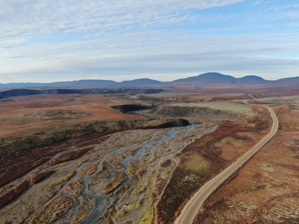
North of Tombstone the road climbs over North Fork Pass and drops onto the Blackstone Uplands, a wide tundra plateau where you may see caribou, ptarmigan and long-tailed jaegers. Chapman Lake (km 116) is a good stop. Engineer Creek Campground at km 194 sits below red, iron-stained rock in the Ogilvie River valley.
The road then climbs onto the Eagle Plains plateau and follows a long ridge to the Eagle Plains Hotel at km 369. This is the only place on the Yukon section with fuel, rooms, a restaurant and an RV campground, and it is open all year.
Eagle Plains to the NWT border (km 369 to 465)
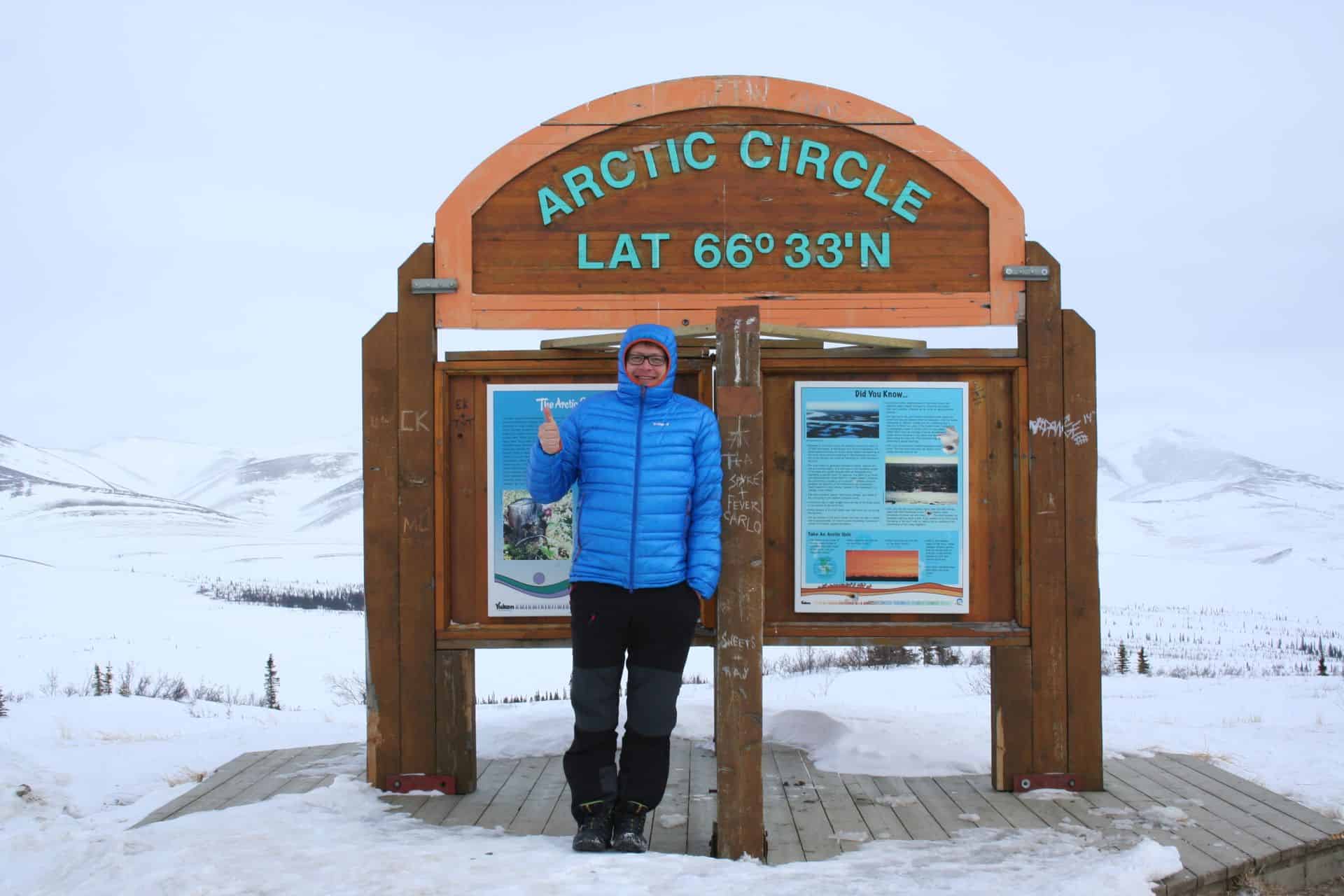
The Arctic Circle sign is at km 405.5, at 66°33’ north, with interpretive panels and a large gravel pull-out. Beyond it, the road crosses the Richardson Mountains. Rock River Campground is at km 446, in a sheltered valley just before the climb to the Northwest Territories border at Wright Pass, km 465. Here the road becomes NWT Highway 8, and the kilometre posts start again at zero.
NWT border to Inuvik (km 465 to 736)
The road descends to the Peel River. The Abraham Francis ferry crosses at about km 539, and Nataiinlaii Territorial Park campground is 1 km past the landing. Fort McPherson (Teetł’it Zheh), a Gwich’in community, is just off the highway at about km 550. It has fuel, two grocery stores and the Lost Patrol graves.
At about km 608 the Louis Cardinal ferry crosses the Mackenzie River and also stops at Tsiigehtchic, a small Gwich’in community at the mouth of the Arctic Red River. The last stretch runs through spruce forest past Gwich’in Territorial Park and Campbell Lake to Inuvik. That is roughly 182 km (113 mi) from Eagle Plains to Fort McPherson and about 186 km (116 mi) from Fort McPherson to Inuvik.
Inuvik to Tuktoyaktuk (138 km)
The Inuvik to Tuktoyaktuk Highway opened on November 15, 2017, as the first all-weather road to Canada’s Arctic coast. It is a raised gravel embankment built on top of the permafrost, so it does not thaw the ground beneath. It crosses forest, then lake country, then open tundra, with pingos (hills with a core of ice) rising from the flat land near Tuktoyaktuk. There are eight pull-outs along the way, but no services until Tuktoyaktuk, which has two gas stations. Some services there are seasonal, so do not count on finding propane.
In Tuktoyaktuk, follow the signs to the point at the end of the road, where a sign marks the Arctic Ocean. Most visitors dip a hand or a foot in the water. Pingo Canadian Landmark lies next to the hamlet. Parks Canada has a pull-out and day use area with a lookout just before you enter Tuktoyaktuk, from where you can see the pingos rising from the flat tundra.
Before the highway, Tuktoyaktuk could only be reached by plane, by boat in summer, or in winter over an ice road on the frozen Mackenzie River and the Beaufort Sea. That ice road ran for the last time in April 2017. We drove it in 2015, and I wrote about it in German: the ice road to Tuktoyaktuk (in German). The background to the new road is in our article on the Inuvik Tuktoyaktuk Highway (in German).
When we drove it in May
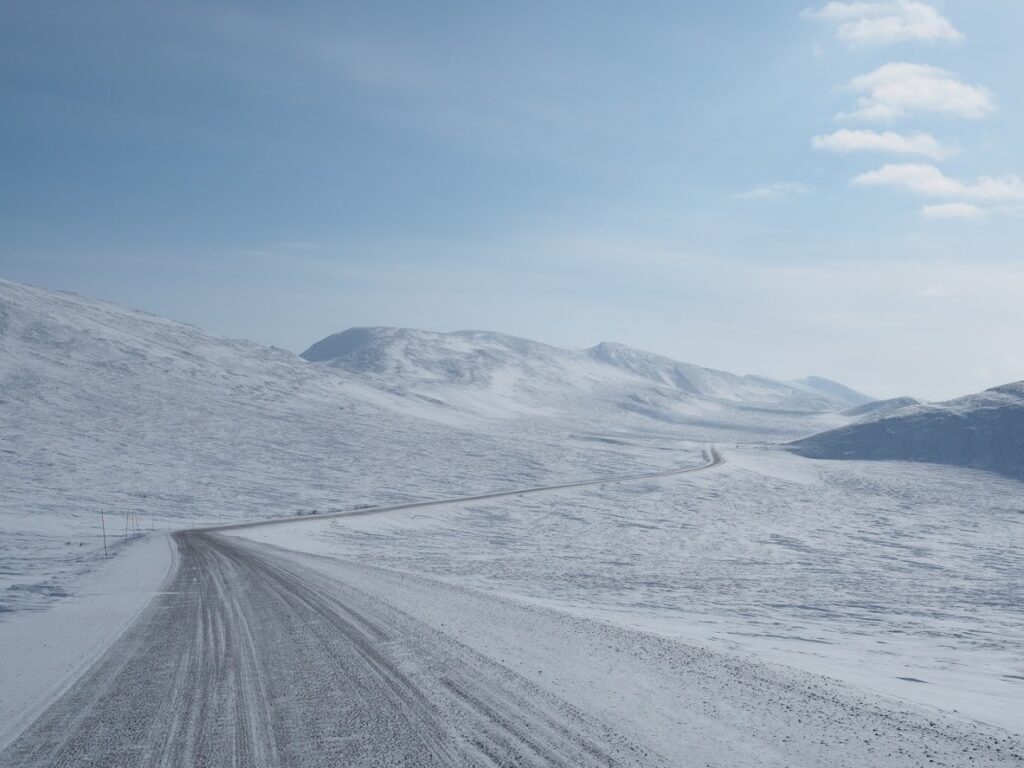
In early May 2015, a group of us set off from Dawson City at half past eight in the morning. Forty kilometres out of town we turned onto the Dempster, and the asphalt of the Klondike Highway gave way to gravel, much of it still under snow. Tombstone was white from the valley floors to the summits, and there was hardly any traffic, because the highway beyond Eagle Plains had been closed for snowdrifts. The only animals we saw all day were willow ptarmigan, perfectly white against the snow.
It took us seven hours to reach Eagle Plains. The parking lot was full of trucks waiting for the road to open. It did not open that evening, nor the next morning. At 11 am we decided to stay a second night, because Inuvik was still about six hours away. There is nothing to do at Eagle Plains except sit in the lobby, so we did a jigsaw puzzle and read.
At 3 pm the truckers suddenly jumped up, paid for their coffee and ran to their rigs. The highway had been opened for a short window to let the waiting vehicles through. We packed, checked out and joined the convoy. A few minutes later the road was closed again behind us. Through the Richardson Mountains the wind blew snow across the road, and the trucks fought a strong crosswind. At the Arctic Circle and at the NWT border we only managed a few photos before the cold sent us back to the car.
Past the mountains the drive became easy. We crossed the Peel and the Mackenzie on the ice bridges, stopped in Fort McPherson, watched a sun dog beside the low sun and reached Inuvik at 10 pm. Some of us had a muskox burger for dinner.
Two lessons from that trip still apply. First, the Dempster can close at any time of year because of weather, and you should have a spare day in your plan. Second, Eagle Plains is the place where you wait, so do not plan to push past it late in the day when the weather is turning.
Ferries, ice bridges and closures
Both river crossings in the Northwest Territories are free and run on demand, many times a day.
- Peel River ferry (M.V. Abraham Francis): about 600 m across, roughly 5 minutes. The GNWT lists summer hours of 9:15 am to 12:45 am.
- Mackenzie River ferry (M.V. Louis Cardinal), also called the Arctic Red River ferry: about 900 m, roughly 8 minutes, with a stop at Tsiigehtchic. Listed hours are 8:15 am to 11:15 pm.
According to the GNWT, the ferries open on average in the first days of June. They usually run until late October or early November, depending on ice. From about late November to late April, ice bridges replace them.
In between, during freeze-up in autumn and break-up in spring, there is no way across the rivers. The Dempster Highway visitor site estimates about 6 to 8 weeks of closure in autumn and 3 to 5 weeks in spring. During those weeks you can still drive the Yukon section to Eagle Plains and beyond, but not to Fort McPherson or Inuvik.
High water can also stop the ferries in summer. On July 3, 2026, a cable broke on the Peel River ferry during high water and the vessel came loose from its dock. Travellers had to wait on the Yukon side, and the Eagle Plains Hotel offered free camping to people stuck there. Check the crossing status before you leave Dawson City and again at Eagle Plains.
Fuel, food and services
| Stop | Km | Distance from previous fuel |
|---|---|---|
| Dawson City | 40 km before km 0 | |
| Eagle Plains Hotel | 369 | about 409 km (254 mi) from Dawson City |
| Fort McPherson | about 550 | about 182 km (113 mi) |
| Inuvik | about 736 | about 186 km (116 mi) |
| Tuktoyaktuk | Inuvik plus 138 | 138 km (86 mi) |
Fuel is more expensive than in the south, and stations in the small communities may have limited hours. Fill up at every opportunity, even if your tank is half full. Inuvik is the only place on the route with a full range of services: hotels, restaurants, a hospital, grocery stores and mechanics.
Campgrounds
Yukon government campgrounds
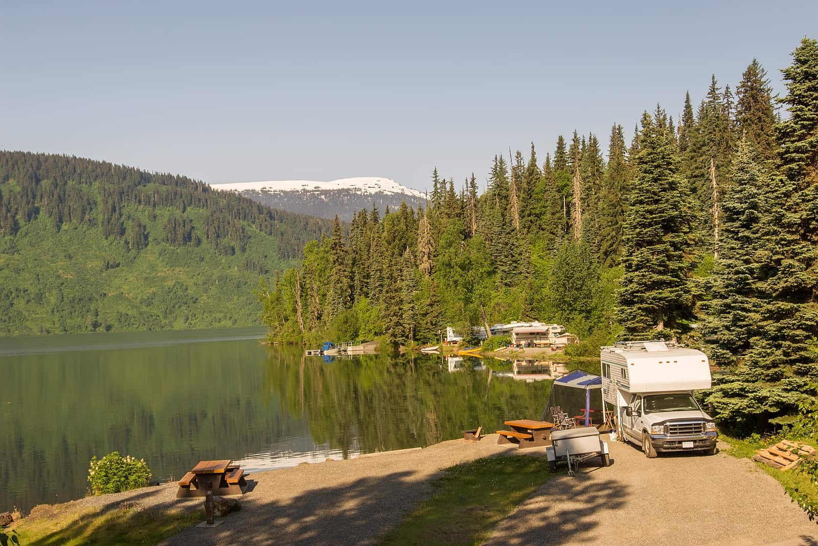
The Yukon section has three government campgrounds, plus the private RV campground at Eagle Plains.
- Tombstone Mountain, km 72
- Engineer Creek, km 194
- Rock River, km 446
From May 1 to September 30, a site costs CAD 20 per night if you pay cash at the campground kiosk, or CAD 18 with a nightly voucher or when you book online (prices include GST). Half the sites at Tombstone Mountain can be reserved through the Government of Yukon at yukon.goingtocamp.com; in 2026 reservations opened on April 8 for dates from May 8 to October 1. Engineer Creek and Rock River are first come, first served. The backcountry campgrounds in Tombstone (Grizzly Lake, Divide Lake and Talus Lake) need a reservation, with a CAD 10 reservation fee on top of the nightly permit. These open early, so book in March if you want to hike in July or August.
NWT territorial park campgrounds
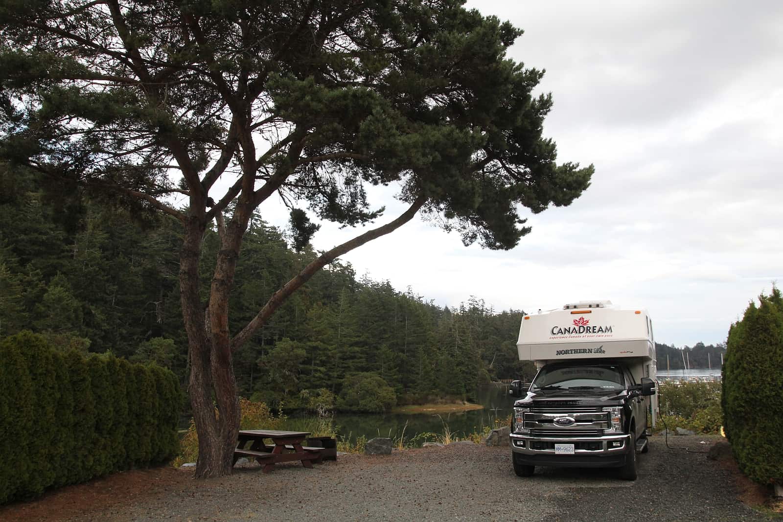
- Nataiinlaii Territorial Park, 1 km past the Peel River ferry: 22 non-powered sites, self-registration on arrival, no reservations
- Vadzaih Van Tshik campground and Gwich’in Territorial Park (Campbell Lake area) between Tsiigehtchic and Inuvik
- Jàk Territorial Park, just south of Inuvik, and Happy Valley Territorial Park in town, both with powered sites
NWT Parks charges CAD 30 per night for a non-powered site and CAD 35 for a powered site, including GST. Reservable parks add a CAD 6 reservation fee.
When to drive the Dempster
Late June to early September is the best time. All services are open, both ferries run, and in Inuvik the sun does not set from about May 24 to July 24. In June and July, mosquitoes and black flies can be heavy in the river valleys and around Inuvik. Bring a head net and repellent, and choose windy, open campsites when you can.
From mid-August the tundra turns red and gold, the mosquitoes are mostly gone, and the nights get dark enough for the northern lights. See our guide to the northern lights in Canada for what to expect. Snow can fall in the passes in any month, and by late September the Tombstone Interpretive Centre has closed for the season (in 2026 on September 20).
Winter driving is possible on the ice bridges from about late November to April, but temperatures of minus 30 to minus 40 °C, short days and storm closures make it a trip for experienced northern drivers only.
Vehicle, tires and rental cars
The road is well built gravel, wide enough for two trucks and fine for an ordinary car at sensible speeds. The hazards are sharp shale that cuts tires, flying stones that crack windshields, dust in dry weather and slippery clay mud after rain. Slow down and move to the right when a truck approaches.
- Make sure all tires have plenty of tread. Carry at least one full-size spare, and a second if your tire size is unusual. Know how to change it.
- Drive with headlights on, keep windows closed in dust and run the fan on defrost with the heat off.
- Carry extra water, food, warm clothing and a basic tool kit.
Many rental companies in Canada forbid gravel highways in their contracts, and their insurance does not cover damage there. Ask in writing before you book. GoNorth, which rents cars and campers in Whitehorse, says that all its rental units may be driven on gravel roads including the Dempster Highway. One-way rentals ending in Inuvik are rare and expensive, so most visitors drive back the same road. For a longer route that ends in Inuvik and flies back to Whitehorse, see our Yukon road trip from the Pacific to the Arctic Ocean.
Road reports and communication
- Yukon section: 511 Yukon (opens in a new tab) shows road conditions, closures and construction.
- NWT section and ferries: DriveNWT (opens in a new tab), the GNWT highway conditions map, shows ferry and ice crossing status. The Dempster Highway visitor site lists the GNWT Department of Infrastructure toll-free number 1-800-661-0750.
- In Dawson City, the Dempster Delta visitor centre on Front Street has the latest road and ferry reports.
There is no cell coverage on most of the highway. Eagle Plains has phones and the communities in the NWT have some coverage. Carry a satellite messenger (such as a Garmin inReach or SPOT) or a satellite phone, and leave your plans with someone. Download offline maps before you leave Dawson City.
Wildlife
The Dempster crosses the winter range of the Porcupine caribou herd, which the Alaska Department of Fish and Game counted at about 143,000 animals in July 2025. The herd spends summer on the coastal plain in Alaska and northern Yukon and moves back toward the Dempster in autumn. From September to spring, you may see hundreds of animals near the road between Tombstone and the Richardson Mountains. Give them room and do not stop in the middle of a herd that is crossing.
Grizzly bears, moose, wolves, Dall sheep, foxes, gyrfalcons and Arctic ground squirrels also live along the highway. Store food in your vehicle at campgrounds and read our bear safety guide before you go.
How the Dempster fits into a Yukon trip
The Dempster is the northern end of the Yukon road network. Our guide to Yukon highways covers the Klondike Highway that brings you to Dawson City and every other road in the territory. A practical plan from Whitehorse is two days to Dawson City, a night at Tombstone or Eagle Plains, a night in Inuvik, a day trip or overnight in Tuktoyaktuk, and two or three days back.
Frequently asked questions
How long is the Dempster Highway?
736 km (457 mi) from the Klondike Highway near Dawson City to Inuvik. The Inuvik to Tuktoyaktuk Highway adds 138 km, so the drive from the start of the Dempster to the Arctic Ocean is about 874 km (543 mi).
Is the Dempster Highway paved?
No. The Dempster and the road to Tuktoyaktuk are gravel the whole way.
Where can I get fuel on the Dempster Highway?
In Dawson City, at the Eagle Plains Hotel (km 369), in Fort McPherson (about km 550), in Inuvik and in Tuktoyaktuk. The longest gap is about 409 km from Dawson City to Eagle Plains.
Do the Dempster ferries cost anything?
No. Both NWT ferries, over the Peel River and the Mackenzie River, are free. They usually run from early June until late October or early November. During freeze-up and break-up there is no crossing for several weeks.
Can I drive the Dempster Highway in a rental car?
Only if your rental contract allows gravel highways, and many do not. GoNorth in Whitehorse says its vehicles may be driven on the Dempster. Get the permission in writing and check whether tires and windshields are covered.
How many days do I need for the Dempster Highway?
At least two days from Dawson City to Inuvik, one day for the return trip to Tuktoyaktuk and two days back south. Add a spare day for weather or ferry closures.
Sources
- Government of Yukon: Tombstone Interpretive Centre (opens in a new tab)
- Government of Yukon: Hike and camp at Tombstone Territorial Park (opens in a new tab)
- Government of Yukon: Campsite reservations (opens in a new tab)
- Government of Yukon: Get a campsite permit (opens in a new tab)
- Government of Yukon: Government of Yukon prepares for 2026 camping season (opens in a new tab)
- Government of Yukon: The Dempster Highway travelogue (PDF) (opens in a new tab)
- Government of Yukon: Find road conditions on 511 Yukon (opens in a new tab)
- Government of the Northwest Territories: Ferries (opens in a new tab)
- Government of the Northwest Territories: Highway Conditions Map, DriveNWT (opens in a new tab)
- NWT Parks: Dempster Highway road trip (opens in a new tab)
- NWT Parks: Nataiinlaii Territorial Park (opens in a new tab)
- NWT Parks: Permits and fees (opens in a new tab)
- The Dempster Highway: Driving seasons (opens in a new tab)
- The Dempster Highway: Driving tips (opens in a new tab)
- The Dempster Highway: Communities and amenities (opens in a new tab)
- The Dempster Highway: Road and weather conditions (opens in a new tab)
- Parks Canada: Pingo Canadian Landmark, plan your visit (opens in a new tab)
- Alaska Department of Fish and Game: Photocensus for the Porcupine and Central Arctic caribou herds (PDF) (opens in a new tab)
- Yukon News: Peel River ferry closure slows travel north on the Dempster Highway (opens in a new tab)
- The Milepost: Tuktoyaktuk (opens in a new tab)
- GoNorth: GoNorth Yukon car and RV rental (opens in a new tab)
Comments
No comments yet. Questions about this article are welcome.
Thank you. Your comment will appear once we have checked it.