Road Trips
Yukon Highways: A Road Trip Guide to Every Route
All Yukon highways from the Alaska Highway to the Dempster: length, paved or gravel, season, fuel stops, border crossing hours and what to see on each.
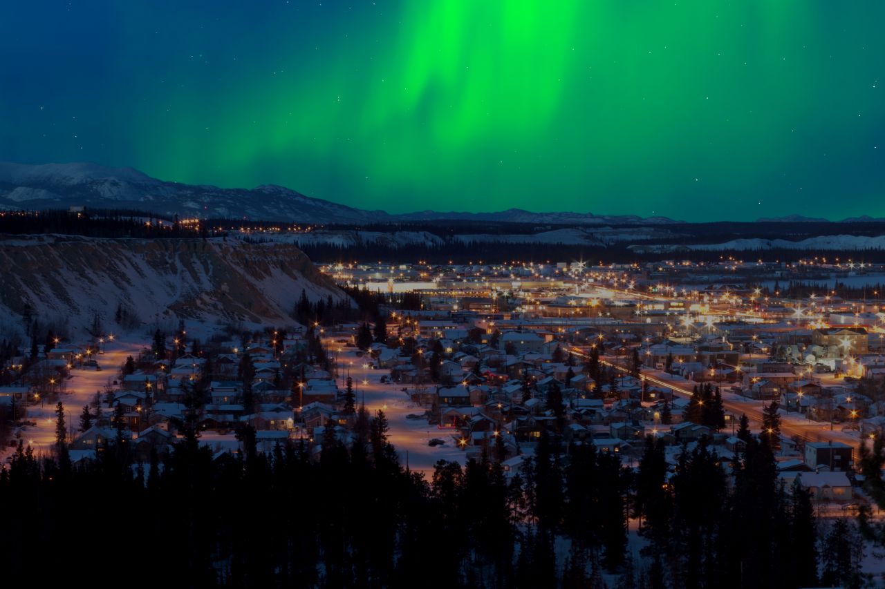
Many Yukon highways follow routes that are far older than the roads. Tlingit traders from the coast and the peoples of the interior used these trails for centuries, the Klondike stampeders followed some of them in 1898, and the US Army turned others into military roads during the Second World War. Today they are among the most scenic drives in North America, and some of the emptiest.
This guide covers every numbered highway in Yukon, plus the BC and Alaska roads that link to them. For each one you get the length, surface, season and fuel stops, followed by what is worth stopping for. For a ready-made route that strings most of these roads together, see our Yukon road trip from the Pacific to the Arctic Ocean.
Before You Drive
Road reports. Check 511 Yukon (opens in a new tab) every morning. It shows closures, construction, washouts and highway cameras. On the Dempster Highway past the Northwest Territories border, also check the Government of the Northwest Territories highway and ferry reports.
Fuel. Distances between gas stations can be 200 to 370 kilometres. Fill up whenever you can, and carry a jerry can on the Campbell, Canol and Dempster. Some small stations close early or shut for the season.
Gravel. On gravel roads, carry at least one full-size spare tire, drive with your headlights on, and slow down for oncoming trucks to protect your windshield. Many rental companies do not allow their vehicles on gravel highways such as the Dempster, so read the contract before you book.
Border crossings. Several routes cross into Alaska. The small ports have limited hours, and if the port is closed you cannot cross. Confirm current hours in the CBSA Directory of Offices and Services and on the US Customs and Border Protection website. Yukon stays on Mountain Standard Time all year, so in summer it is one hour ahead of Alaska.
Wildlife. Bison, moose, caribou, bears and sheep stand on or beside the road, especially at dawn and dusk.
The Main Highways
Alaska Highway (Yukon Highway 1)
- Length: 2,232 km from Dawson Creek, BC, to Delta Junction, Alaska. About 957 km of it is Yukon Highway 1.
- Surface: Paved the whole way, mostly with chip seal (bituminous surface treatment).
- Season: Open and maintained all year.
- Fuel in Yukon: Watson Lake, Teslin, Whitehorse, Haines Junction, Destruction Bay and Beaver Creek, plus several roadside lodges.
The United States wanted a road to Alaska as early as the 1920s, but Ottawa refused to pay for a highway that would serve only a few thousand Yukon residents. The attack on Pearl Harbor changed that. Fearing a Japanese invasion via the Aleutian Islands, the US Army started building on March 9, 1942, and the route was completed on October 28, 1942. When it opened it was about 2,700 kilometres long. Realignments have since straightened many of the curves, which is why it is now shorter.
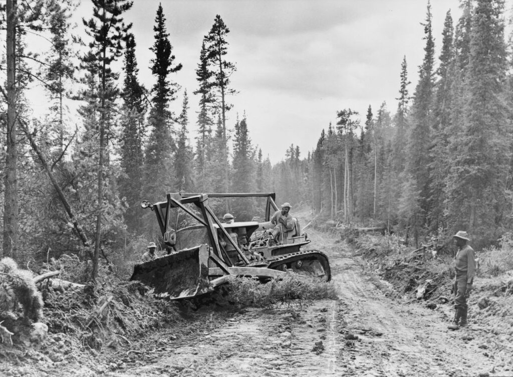
The highway is still the only road from the lower 48 states to Alaska. Along the way you see relics from 1942, such as old trucks and the Caterpillar bulldozers, the “Cats”, that cut the route through the bush.
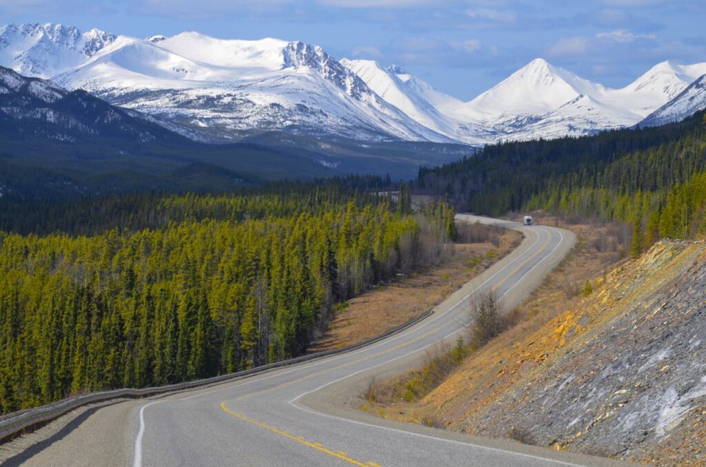
The trip starts at Mile 0 in Dawson Creek, where the Alaska Highway House museum tells the story of the construction. North of Fort Nelson the scenery changes. The road climbs to Summit Pass in Stone Mountain Provincial Park, at 1,267 metres the highest point of the Alaska Highway. Then comes Muncho Lake, a long, jade-green lake, and Liard River Hot Springs at kilometre 765. The springs sit in a boreal swamp forest, and a boardwalk leads to the pools. The water is warm at the outflow and very hot near the source. BC Parks charges a day-use fee from May 1 to Thanksgiving of 5 CAD for adults, 3 CAD for children and 10 CAD for families, and the pools are open from 7 am to 10:30 pm. Prices in Canadian dollars (CAD), as of October 2026. Bison often graze on the road shoulders in this stretch.
After about 1,000 kilometres you reach Watson Lake, just inside Yukon. During the war it was a key airfield on the Northwest Staging Route, which ferried thousands of US aircraft north to Alaska, where Soviet pilots flew them on to Siberia. Watson Lake is best known for the Sign Post Forest. In 1942, Private Carl Lindley, a homesick soldier from Illinois, put up a sign pointing to his hometown. Travellers have been adding signs ever since, and Travel Yukon now counts almost 100,000.
The drive northwest passes many abandoned roadhouses and old gas stations. Modern cars can go much farther between fill-ups, and many of these stops are no longer needed. Next come Teslin Lake, about 354 square kilometres in size, and Whitehorse, the capital. Our guide to things to do in Whitehorse covers the city in detail.
Kluane National Park and Reserve begins at Haines Junction, where you find a visitor centre and the turnoff to the Haines Road. Past Kluane Lake and Beaver Creek, the highway crosses into Alaska. At the border, a cleared strip runs through the forest along the 141st meridian. The official end of the highway is a signpost in Delta Junction. From there it is about 150 kilometres to Fairbanks, with a stop at the town of North Pole on the way.
Klondike Highway (Yukon Highway 2)
- Length: About 709 km from Skagway, Alaska, to Dawson City. It shares about 32 km with the Alaska Highway near Whitehorse.
- Surface: Paved.
- Season: Open all year. The White Pass section near the border can close for avalanches in winter and for rockslides at other times. A landslide closed the road north of the border in July 2024.
- Border: The Canadian port at Fraser, BC, and the US port in Skagway. The Milepost lists Fraser as open daily from 8 am to midnight Pacific time and Skagway from 7 am to 11 pm Alaska time. Confirm before you go.
- Fuel: Skagway, Carcross, Whitehorse, Carmacks, Pelly Crossing and Dawson City.
The Klondike Highway connects the Pacific coast with the goldfields. Much of it runs close to the route the stampeders took to Dawson City in 1898. In Alaska it is signed as Route 98. Yukoners split it into the South Klondike (Skagway to the Alaska Highway) and the North Klondike (Whitehorse to Dawson City).
South Klondike. Skagway was the starting point for the gold seekers, and its wooden false-front buildings still look the part. On cruise ship days in summer the streets are packed. The Gold Rush Cemetery holds the graves of stampeders whose luck ran out.
From sea level the road climbs to White Pass (1,003 metres), where the historic White Pass & Yukon Route railway also crosses. At the summit you enter British Columbia, not Yukon. You reach Yukon about 56 kilometres later, after Tutshi Lake. Bove Island, at the point where Windy Arm meets Tagish Lake, is a classic photo stop, especially in September when the aspens turn yellow.
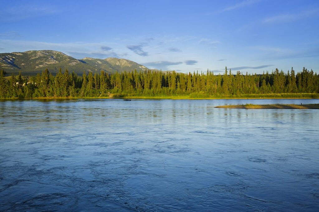
Carcross, short for Caribou Crossing, is named after the herds that once crossed the narrows here. It is the home of the Carcross/Tagish First Nation, and the carvings in the village centre are worth a look. The local cemetery is the resting place of Skookum Jim (Keish) and Dawson Charlie, two of the men who found gold on Bonanza Creek with George Carmack in 1896. Kate Carmack, who many people say found the first nugget, is buried here too.
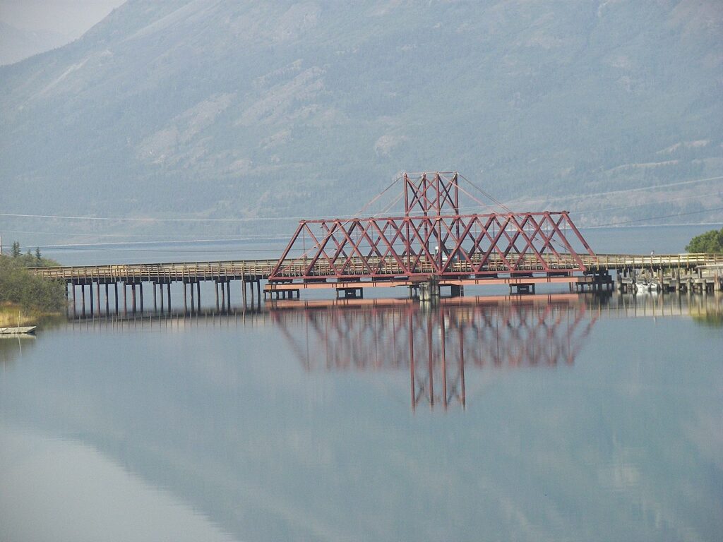
Just north of town is the Carcross Desert, a small area of sand dunes left behind by an Ice Age lake, often called the smallest desert in the world. A few kilometres on, Emerald Lake glows green and turquoise on sunny days. The colour comes from white marl deposits on the lake bottom. In July the roadsides turn pink with fireweed, Yukon’s floral emblem.
North Klondike. North of Whitehorse, cell coverage and radio reception soon fade. Carmacks, named after George Carmack, who found coal near here in the 1890s, is the western end of the Robert Campbell Highway. The Little Salmon/Carmacks First Nation runs the Tagé Cho Hudän Interpretive Centre, which explains Northern Tutchone culture.
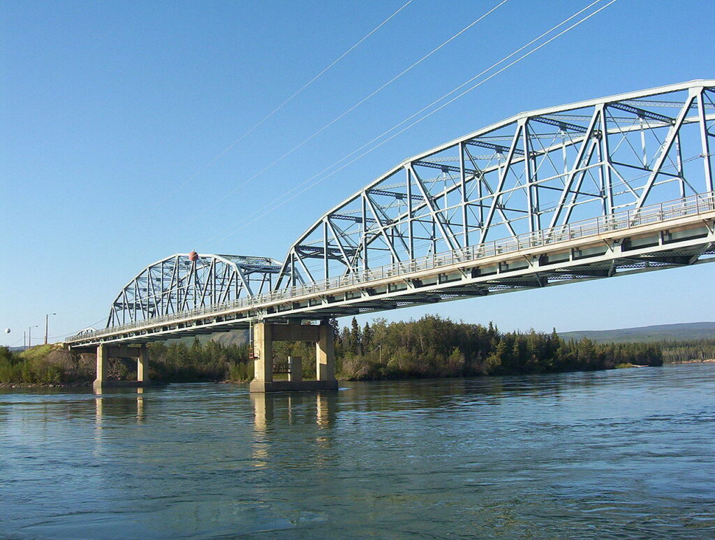
North of Carmacks a viewpoint looks down on the Five Finger Rapids, which sternwheeler captains feared. Today canoeists paddling from Whitehorse to Dawson City run them. At Pelly Crossing and Stewart Crossing, bridges replaced the ferries in the 1950s and 1960s. At Stewart Crossing the Silver Trail branches off to Mayo.
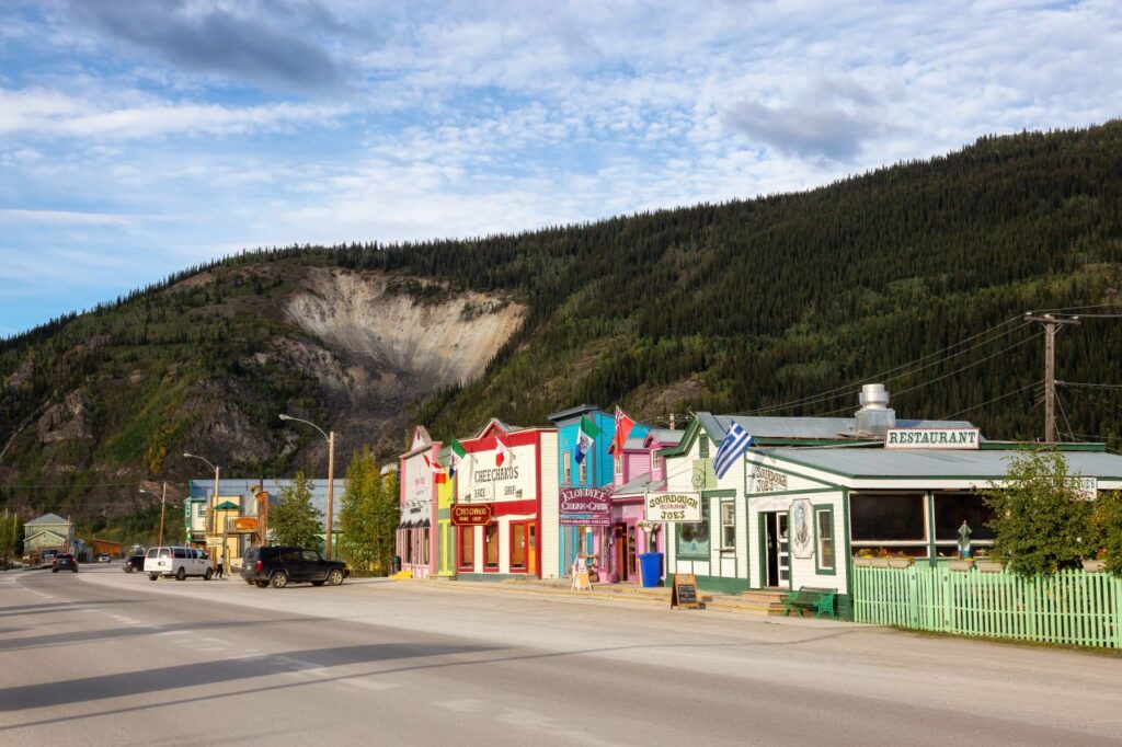
About 40 kilometres before Dawson City you pass the Klondike River and the start of the Dempster Highway. The road ends in Dawson City, once the Yukon capital and in 1898 the largest city north of Seattle and west of Winnipeg. From Dawson, the George Black ferry crosses the Yukon River to the Top of the World Highway.
Haines Road (Yukon Highway 3)
- Length: About 246 km from Haines Junction to Haines, Alaska. The Yukon section is 175 km, followed by a stretch in BC and the last part in Alaska, where it is Route 7.
- Surface: Paved, two lanes.
- Season: Open all year.
- Border: Pleasant Camp (Canada) and Dalton Cache (US), about 65 km from Haines. The Milepost lists Pleasant Camp as open daily from 8 am to midnight Pacific time and Dalton Cache from 7 am to 11 pm Alaska time. Confirm before you go.
- Fuel: Haines Junction, the 33 Mile Roadhouse on the Alaska side, and Haines.
The Haines Road, also called the Haines Highway or Haines Cut-off, follows an old trade route of the Chilkat Tlingit, who carried goods from the coast into the interior. During the gold rush the trail became the Dalton Trail. In 1943 the US Army built the road as a backup supply route to the Alaska Highway in case the White Pass railway failed. It was not kept open in winter until 1963.
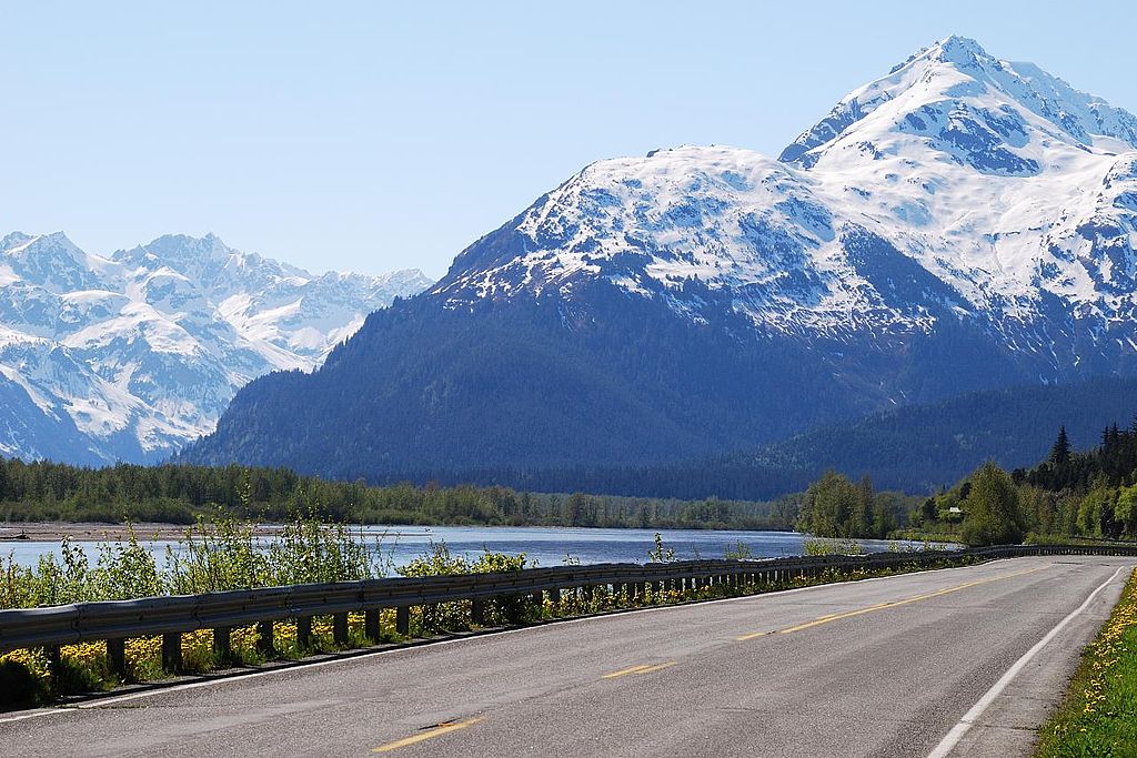
Haines Junction is called Dakwäkäda by the Champagne and Aishihik First Nations, who manage Kluane National Park and Reserve together with Parks Canada. The park holds Mount Logan, at 5,959 metres the highest mountain in Canada, and the largest non-polar icefield in the world.
Heading south, the road passes Dezadeash Lake and runs along the park boundary. Stop at the Million Dollar Falls campground, a Yukon government site on the site of a former construction camp, and walk down to the falls on the Takhanne River. The road then climbs over Chilkat Pass (1,070 metres), with glaciated peaks on both sides.
Just before Haines you reach the Alaska Chilkat Bald Eagle Preserve, a state park of about 200 square kilometres on the Chilkat, Klehini and Tsirku rivers. Bald eagles live here all year, and in late autumn, when the salmon run late, several thousand gather. In Haines you can watch harbour seals, bears and eagles fishing for salmon at the river mouths.
Tip: The Haines Road is part of the Golden Circle Route. You drive Whitehorse to Haines Junction to Haines, take the ferry to Skagway (about one hour), and return to Whitehorse on the Klondike Highway. Travel Yukon puts the loop at 579 kilometres.
Robert Campbell Highway (Yukon Highway 4)
- Length: 583 km from Watson Lake to the Klondike Highway near Carmacks.
- Surface: Mixed. The Milepost puts it at about 40 percent chip seal and 60 percent gravel, with ongoing improvements.
- Season: Open all year, but expect dust and washboard in summer and slippery stretches in winter.
- Fuel: Watson Lake, Ross River (11 km off the highway), Faro (9 km off the highway) and Carmacks. There is no fuel on the roughly 360 km between Watson Lake and Ross River.
The highway is named after Robert Campbell, the Hudson’s Bay Company fur trader and explorer, and follows an old fur trade route. It links Watson Lake with Ross River and Faro. Trucks once hauled lead-zinc ore from the Faro mine along it, but the mine closed in the 1990s.
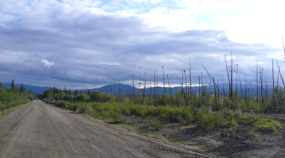
From Carmacks, the road follows the Yukon River for a while and then passes Little Salmon Lake, a good place to stop. Faro had about 2,500 residents at the height of mining and now has only a few hundred. Stop at the visitor centre. Farther east, the road crosses the Lapie Canyon near Ross River, passes Finlayson Lake and runs past the Y-shaped Frances Lake. Watch for bears, moose, beavers, eagles and river otters. At the eastern end, Watson Lake has the Sign Post Forest, the Northern Lights Centre (open in summer) and a visitor centre with Alaska Highway exhibits.
Dempster Highway (Yukon Highway 5)
- Length: 736 km from the Klondike Highway, 40 km east of Dawson City, to Inuvik, Northwest Territories. The first 465 km are in Yukon.
- Surface: Gravel the entire way.
- Season: Open all year, except during freeze-up in autumn and break-up in spring, when the river crossings close for several weeks. June to early September is the best time to drive it.
- River crossings: Free ferries on the Peel River (km 539) and the Mackenzie River at Tsiigehtchic (km 608), usually from June to October. In winter, ice bridges replace them, usually from late November to April.
- Fuel: Dawson City, Eagle Plains (km 369), Fort McPherson (km 550) and Inuvik.
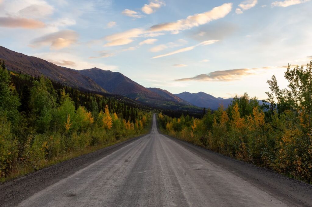
The Dempster is the only public road in Canada that crosses the Arctic Circle. It is named after William John Duncan Dempster, a North-West Mounted Police officer who in 1911 found the frozen bodies of the Lost Patrol, four Mounties who died on the trail between Fort McPherson and Dawson City.
Traffic is light. The road leads through boreal forest and tundra in Tombstone Territorial Park, then over the Ogilvie and Richardson mountains. Eagle Plains, at kilometre 369, has the only hotel, restaurant and gas station on the Yukon section. The Arctic Circle sign is at kilometre 405. When you switch off the engine there, you may hear nothing but an Arctic ground squirrel.
Since November 2017, the gravel Inuvik to Tuktoyaktuk Highway has continued another 138 kilometres from Inuvik to the Arctic Ocean. It was the first all-weather road to reach Canada’s Arctic coast.
Backroads and Short Links
Canol Road (Yukon Highway 6)
- Length: The South Canol runs 220 km from Johnson’s Crossing on the Alaska Highway to Ross River. The North Canol runs 232 km from Ross River to the Northwest Territories border.
- Surface: Narrow, winding gravel with one-lane bridges.
- Season: Summer only. It is not maintained in winter, and washouts can close it in summer.
- Fuel: Only at Johnson’s Crossing and Ross River.
- Not for: Large RVs, trailers, or any vehicle in wet weather.
The Canol Road was built during the Second World War along with the Canol pipeline, which carried oil from Norman Wells in the Northwest Territories to a refinery in Whitehorse. The pipeline was abandoned soon after the war. The road remains, and it is still as curvy and hilly as the original Alaska Highway once was.
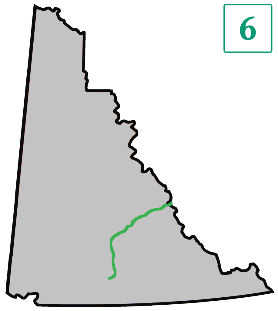
At Ross River, the free Pelly Barge cable ferry carries vehicles across the Pelly River to the North Canol. It usually runs from early June to the second Tuesday in October, depending on water levels. Next to it stands an old footbridge that once carried the pipeline.
The road ends at the Northwest Territories border. Beyond it, the old route continues for about 350 kilometres to the Mackenzie River as the Canol Heritage Trail, a remote hiking and biking route that will not reopen to vehicles. Folk singer Stan Rogers wrote a song about the road, “The Canol Road”.
Atlin Road (Yukon Highway 7)
- Length: About 92 km from the Tagish Road near Jakes Corner to Atlin, BC. The first 42 km are in Yukon.
- Surface: The Yukon section was rebuilt and chip sealed by 2016. The BC section is partly paved.
- Season: Open all year.
- Fuel: Atlin.
The Canadian Army built the road in 1950 and 1951. In BC it follows Atlin Lake, the largest natural lake in the province, up to 283 metres deep. Birch Mountain on Teresa Island rises to 2,062 metres and is often named the highest point on an island in a freshwater lake. The southern part of the lake belongs to Atlin Provincial Park. The name comes from the Tlingit “Áa Tlein”, meaning big water.
Tagish Road (Yukon Highway 8)
- Length: 54 km from Jakes Corner on the Alaska Highway to Carcross.
- Surface: Hard surfaced.
- Season: Open all year.
- Fuel: Carcross.
Before the Alaska Highway was rerouted along Marsh Lake in 1943, this road was part of it. The small settlement of Tagish, 19 kilometres from Jakes Corner, sits at the bridge over the narrows between Tagish Lake and Marsh Lake. During the gold rush, the North-West Mounted Police kept a post nearby on Tagish Lake. With the Klondike and Alaska highways, the Tagish Road makes a short Southern Lakes loop from Whitehorse.
Top of the World Highway (Yukon Highway 9)
- Length: 105 km from Dawson City to the Alaska border at Little Gold Creek, then on to the Taylor Highway at Jack Wade Junction.
- Surface: Mostly gravel. The Alaska side is rough in places.
- Season: Summer only. In 2026 the Little Gold Creek port of entry opened on May 22 and closes on September 15. Hours are 9 am to 7 pm Pacific Daylight Time, seven days a week. Outside these hours you cannot cross.
- Ferry: The free George Black ferry links Dawson City with West Dawson. It runs around the clock from mid-May to mid-October, depending on the river. In 2026 the last sailing is on October 14 at 11 pm.
- Fuel: Dawson City, then Chicken and Tok in Alaska.
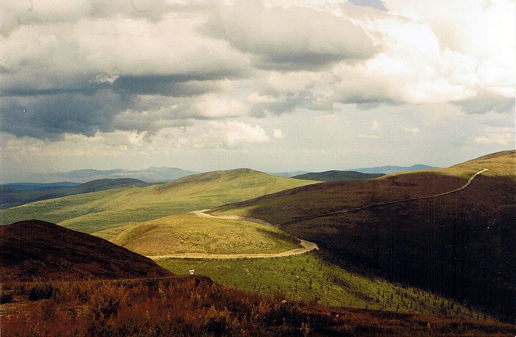
Built in the mid-1950s, this was the only road into Dawson City until the Klondike Highway was finished. The road runs along ridgetops above the treeline, with views over valleys and mountain ranges on both sides of the border. You may see caribou, black bears and eagles. It is one of the roughest roads we have driven, and it is worth every pothole.
Nahanni Range Road (Yukon Highway 10)
- Length: 134 km in Yukon, from the Robert Campbell Highway at kilometre 108 to the Northwest Territories border, then on to the mining town of Tungsten (Cantung).
- Surface: Gravel.
- Season: Not recommended for public travel.
- Fuel: None. The Government of Yukon notes there are no services on the road.
The road was built in the 1960s for the Cantung tungsten mine. Maintenance stopped when the mine closed in 1986 and resumed when mining restarted in the 2000s, mainly for mine traffic. In 2020, the Government of Yukon and the Liard First Nation agreed on a first phase of repairs worth about 17 million dollars, including two new bridges.
Silver Trail (Yukon Highway 11)
- Length: 110 km from Stewart Crossing on the Klondike Highway to Keno City.
- Surface: Paved for the first 62 km, past Mayo. Gravel to Keno City.
- Season: Open all year.
- Fuel: Mayo.
The road got its name in the 1980s after the silver mines of the area. Mayo sits at kilometre 50. Beyond it, the gravel climbs to Elsa, a mining ghost town closed to the public, and Keno City, a tiny community with a mining museum. Part of the old route is now the Duncan Creek Road.
Stewart-Cassiar Highway (Yukon Highway 37)
- Length: About 720 km from the Yellowhead Highway at Kitwanga, BC, to the Alaska Highway west of Watson Lake. Only the last 3.4 km are in Yukon.
- Surface: Paved, with a few short gravel breaks.
- Season: Open all year.
- Fuel: Several stops in BC, including Meziadin Junction, Bell 2, Iskut and Dease Lake, and at the Alaska Highway junction. Some are seasonal.
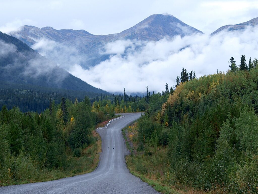
The Stewart-Cassiar is one of the long roads of the north, but in Yukon it is the shortest numbered highway. It was built in the 1960s and 1970s, first to serve the Cassiar asbestos mine. For drivers from southern BC or the US it is the more scenic alternative to the Alaska Highway via Fort Nelson.
Frequently asked questions
Which Yukon highways are paved?
The Alaska Highway, the Klondike Highway and the Haines Road are paved, as are the Tagish Road and the Yukon part of the Atlin Road. The Robert Campbell Highway is partly paved. The Dempster, Canol, Top of the World and Nahanni Range roads are gravel, and the Silver Trail is gravel beyond Mayo.
Can I drive the Dempster Highway in a rental car?
Some rental companies allow it, many do not. Ask before you book, and check whether the insurance covers windshield and tire damage. Carry at least one full-size spare.
When is the Top of the World Highway open?
Only in summer, when the Little Gold Creek border crossing is open. In 2026 that was May 22 to September 15, from 9 am to 7 pm Pacific Daylight Time.
Where do I check Yukon road conditions?
On 511 Yukon, run by the Government of Yukon. It lists closures, construction and highway cameras. For the Northwest Territories part of the Dempster and its ferries, check the Government of the Northwest Territories.
How far apart are gas stations in Yukon?
On the Alaska and Klondike highways, usually less than 200 kilometres. On the Robert Campbell Highway it is about 360 kilometres from Watson Lake to Ross River, and on the Dempster it is 369 kilometres from the Klondike Highway to Eagle Plains.
Comments
No comments yet. Questions about this article are welcome.
Thank you. Your comment will appear once we have checked it.